The LD postcode area, also known as the Llandrindod Wells postcode area, is a group of eight postcode districts in Wales. These postcode districts cover much of south Powys, including Llandrindod Wells, Brecon, Builth Wells, Presteigne, Knighton, Rhayader, Llanwrtyd Wells and Llangammarch Wells. The LD6 district also covers one isolated farmhouse in Ceredigion. The LD7 and LD8 districts extend across the border into England, covering very small parts of Shropshire and Herefordshire.
The LD area is sparsely populated and contains fewer postcodes than any other area on the British mainland, except for the KW area in the north-east of Scotland.
Coverage
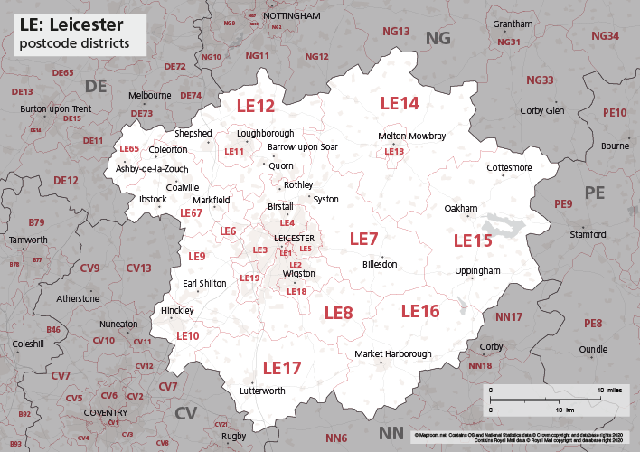
The approximate coverage of the postcode districts:
Map
See also
- Postcode Address File
- List of postcode areas in the United Kingdom
References
External links
- Royal Mail's Postcode Address File
- A quick introduction to Royal Mail's Postcode Address File (PAF)
- Using Welsh alternative addresses within Royal Mail's Postcode Address File (PAF)